The Te Urewera Hunting webmap is an interactive mapping application designed to be simple and responsive, with added features.
Information for Hunters
- The Te Urewera Act provides for you to experience and enjoy Te Urewera. With that comes responsibilities; from Tūhoe as tangata whenua to welcome and care for you, our manuhiri; and also from you in how you care for, respect and give back to Te Urewera.
- While visiting Te Urewera your key responsibilities are:
To know the Arms Code and to hunt safely.
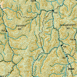
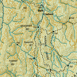
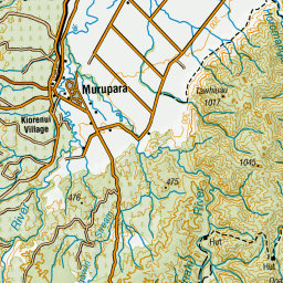
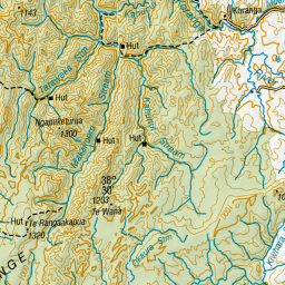
Know the locations of the Open and Closed hunting zones within Te Urewera and respect no hunting zones.
Check whether the area you plan to hunt in has any special conditions.
Seek out local knowledge that might help with safety issues.
Be aware of the location of private land within Te Urewera. Hunting and camping in these areas is not permitted.
Care for huts and campsites and remove your rubbish from Te Urewera. Please pay any relevant hut fees.
- Your feedback and comments on what you see and hear during your time in Te Urewera will be very useful to those who look after Te Urewera. Your eyes and ears are valuable to us, to tell us what is good and healthy, and what needs attention, care, and management.
- You can email your observations to permit@ngaituhoe.iwi.nz
- Important note for Printing:
This web map has no built-in print function. If you require a printed map try using Google Chrome or Opera browser, for now they include better printing options.
The data provided on this site is for informational and planning purposes only.
Absolutely no accuracy or completeness guarantee is implied or intended. All information on this map is subject to such variations and corrections as might result from a complete title search and/or accurate field survey.
Te Urewera boundary data compiled from parcel polygons by Maptec, sourced from LINZ
Campsite data sourced from DOC
Carpark data sourced from DOC
Hut data sourced from DOC